Vivid Photo Art - Photographer's Blog
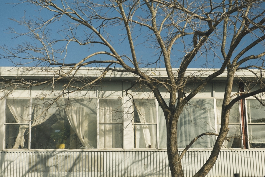
Project: Sydney and Surrounds. Photo walk 13. Waterloo, City of Sydney | Nadezda Zavitaeva - Photographer in Seattle, WA
07 August 2015Waterloo, City of Sydney
Date: 20 July 2015

Vivid Photo Art
Postcode: 2017
Population: 10657
Waterloo is located 4 kilometres south of the Sydney CBD and is part of the local government area of the City of Sydney.
3 facts about Waterloo:
1. Waterloo took its name from the Battle of Waterloo in 1815, when Allied and Prussian forces under the Duke of Wellington and Blücher defeated the French forces under Napoleon Bonaparte.
2. Waterloo is historically a working class region. Since early 2000s, the region has undergone some degree of gentrification with a rising business district focusing on technology-oriented firms and the development of more green space such as parks. By 2006, median individual income in Waterloo was slightly higher than the Australian average.[ The suburb maintains numerous public housing apartments.
3. Green Square is a district in the south and east of the suburb including the suburbs of Waterloo and Zetland that is being redeveloped. It involves an urban renewal program which has seen many industrial buildings redeveloped or replaced by new residential and commercial developments.
References: Wikipedia
Finished: Artarmon, Sydney CBD, Waverton, The University of Sydney, Glebe, Kogarah, Surry Hills, Ultimo, Kirribilli, Potts Point, Windsor
Coming soon: Balmain, Bondi, Chatswood, Richmond, Newtown, Zetland, Darlington, Pirmont, Lavander Bay, Haymarket
Plan to walk: Hunters Hill, Mosman, Strathfield
Your Shares are always welcome and appreciated!
Follow my page: Facebook page
Follow me on Instagram: Instagram

Vivid Photo Art

Vivid Photo Art


Vivid Photo Art

Vivid Photo Art


Vivid Photo Art

Vivid Photo Art

Vivid Photo Art

Vivid Photo Art

Vivid Photo Art

Vivid Photo Art

Vivid Photo Art

Vivid Photo Art

Vivid Photo Art

Vivid Photo Art


