Vivid Photo Art - Photographer's Blog
Project: Sydney and Surrounds. Photo walk 25. Newtown, City of Sydney | Nadezda Zavitaeva - Photographer in Seattle, WA
01 November 2015Newtown, City of Sydney
Date: 8 May 2015
Vivid Photo Art
Postcode: 2042
Population: 14148
Newtown is located 4 kilometres west of the Sydney CBD and is part of the local government areas of the City of Sydney and Marrickville Council.
3 facts about Newtown:
1. Newtown was established as a residential and farming area in the early 19th century. The area took its name from a grocery store opened there by John and Margaret Webster in 1832, at a site close to where the Newtown railway station stands today. They placed a sign atop their store that read "New Town Stores". The name New Town was adopted, at first unofficially, with the space disappearing to form the name Newtown.
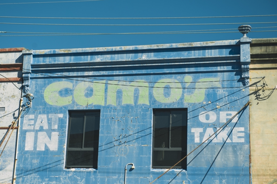
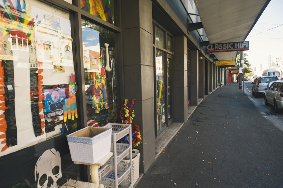
2. King Street is the main street of Newtown and centre of commercial and entertainment activity. The street follows the spine of a long ridge that rises up near Sydney University and extends to the south, becoming the Princes Highway at its southern end.
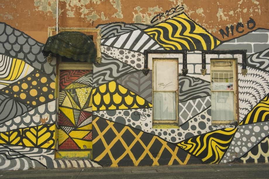
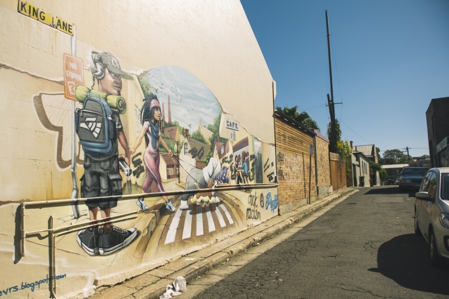
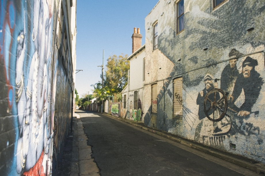
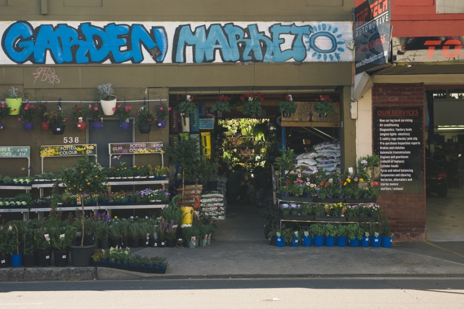
3. The Newtown area is also known for its creative graffiti and "street art".
References: Wikipedia
Your Shares are always welcome and appreciated!
Vivid Photo Art
Vivid Photo Art
Vivid Photo Art
Vivid Photo Art
Vivid Photo Art
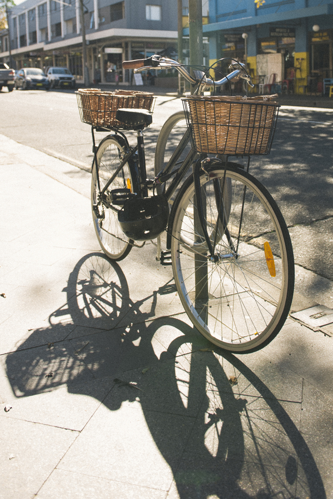
Vivid Photo Art
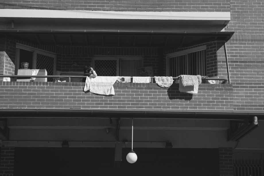
Vivid Photo Art
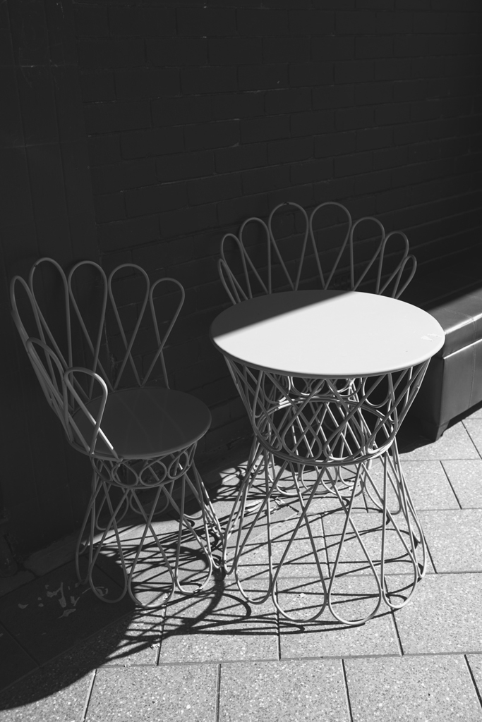
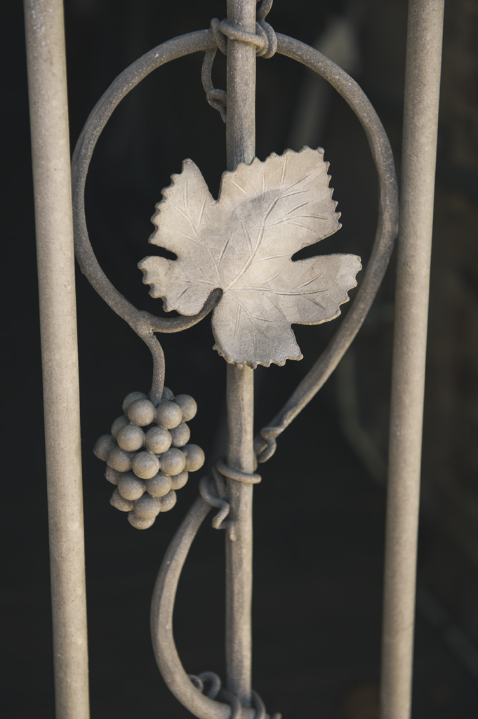
Vivid Photo Art
Vivid Photo Art
Vivid Photo Art
Vivid Photo Art
Vivid Photo Art
Vivid Photo Art
Vivid Photo Art
Vivid Photo Art
Vivid Photo Art
